
Future Landscapes
The Future Landscapes collection is a body of work developed by joshachaplin, the project explores the foundations and the abstraction level of environments in the digital age. These point sculptures use datasets from numerous topography surveys including USGS NED 10M, ASTER 30M and the Shuttle Radar Topography Mission. With the use of real world data, josh is able to create these digital compositions.
With Future Landscapes I imagine our environment's place in the digital world, casting a spotlight on the elements of real and artificial, and ask - how will the relationships with our surroundings change in the coming decades with the transition to the metaverse?
How will the environments we have been accustomed to since the beginning of time take form in the metaverse and how will our relationship with it change?
The Future Landscapes collection is a body of work expanded upon from one of my early projects called ‘mountain_landscapes’.

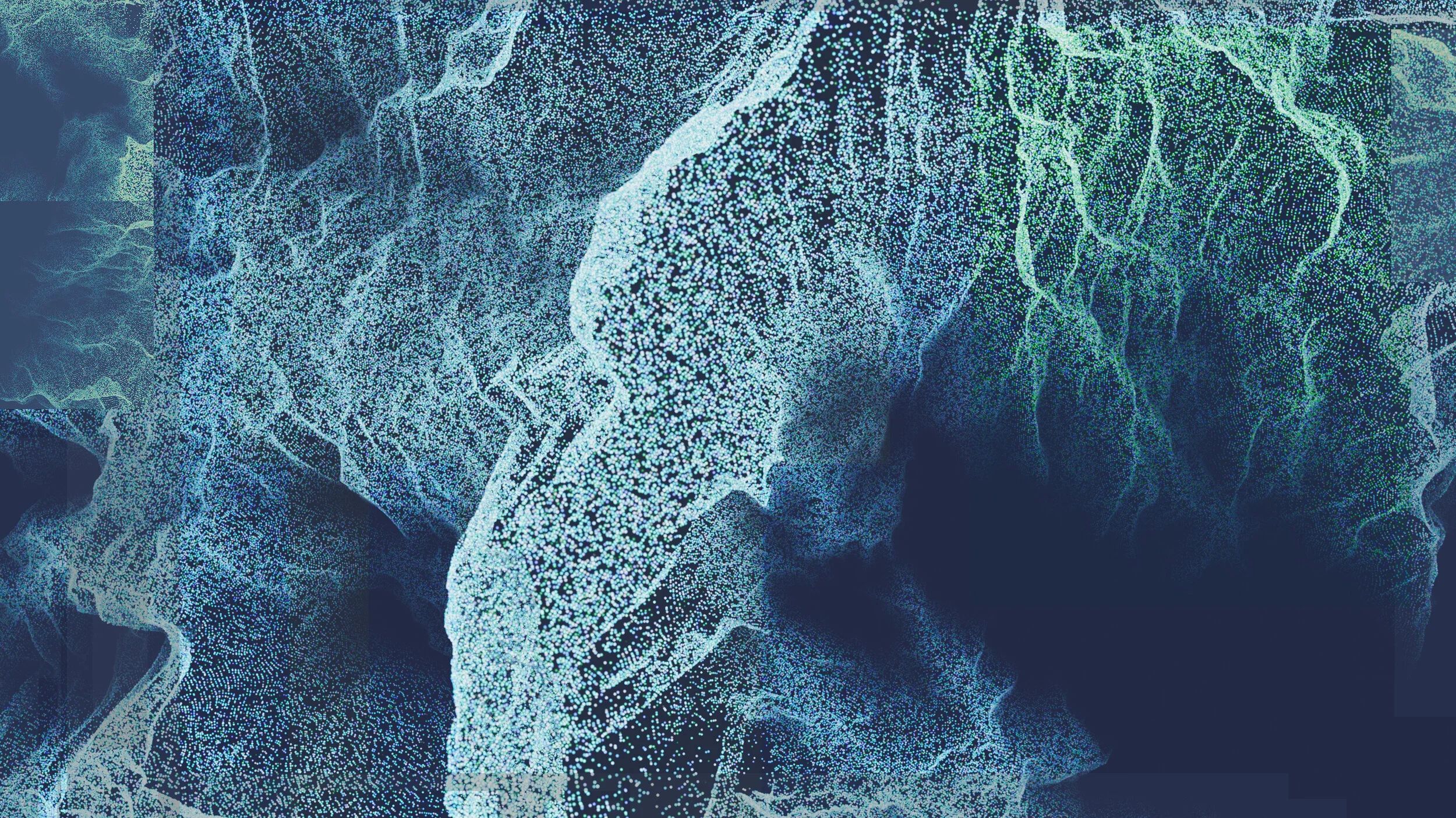
LDS / 37.7 -119.6
Landscape Data Sculpture
Developed using heightmap data from the Yosemite Valley Region in North America.
One of the most fascinating things to me when I work with digital landscapes is how the patterns and structures of the natural world retain their language and are seemingly emphasized further. The differences between the hard shapes of computation and the soft flows of nature become a highlight and a contrast of the two worlds we know.

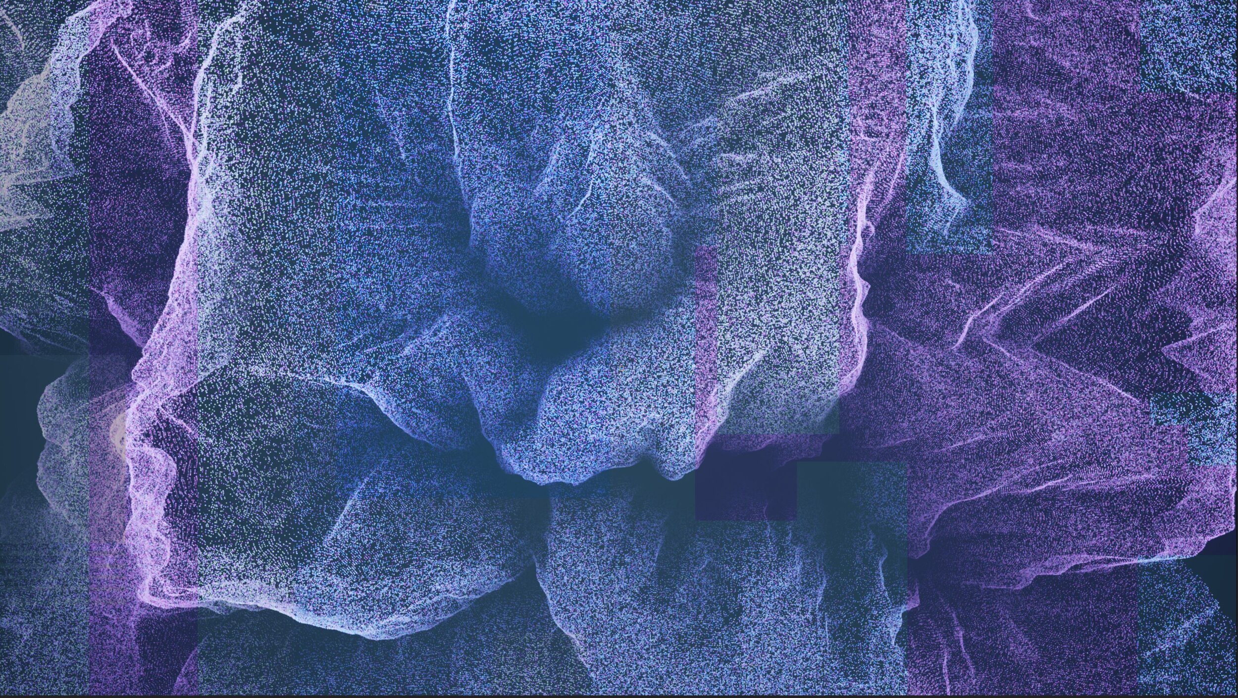
LDS / -49.271 -73.043
Landscape Data Sculpture
Developed using heightmap data from the Fitz Roy Peak in Patagonia.
Taking on forms of computational abstraction and deformation through the creation process.

Landscape Data Composite
Future environments built upon small packets of data; forming vectors of integrity inside 3D space.
Developed using heightmap data from Mount Cook in Southern New Zealand.